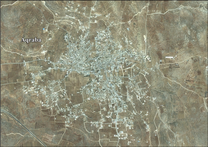
Aqraba, Nablus
Aqraba | |
|---|---|
| Transkripsi Arab | |
| • Arab | عقربا |
| • Latin | 'Aqraba (resmi) Akraba (tak resmi) |
 Aqraba | |
 Aqraba Lokasi Aqraba di Palestina | |
| Koordinat: 32°07′35″N 35°20′37″E / 32.12639°N 35.34361°E | |
| Grid Palestina | 182/170 |
| Negara | Palestina |
| Kegubernuran | Nablus |
| Pemerintahan | |
| • Jenis | Munisipalitas |
| • Kepala Munisipalitas | Jawdat 'Abd al-Hadi |
| Luas | |
| • Total | 34.659 dunams (34,7 km2 or 134 sq mi) |
| Populasi (2017)[1] | |
| • Total | 10.024 |
| • Kepadatan | 29/km2 (75/sq mi) |
| Arti nama | Kalajengking[2] |
Aqraba (Arab: عقربا) adalah sebuah kota Palestina di Kegubernuran Nablus, yang berjarak delapan belas kilometer dari tenggara Nablus di Tepi Barat utara. Menurut Biro Statistik Pusat Palestina, Aqraba memiliki populasi 10.024 penduduk pada 2017.[1]
Referensi
- ^ a b Preliminary Results of the Population, Housing and Establishments Census, 2017 (PDF). Palestinian Central Bureau of Statistics (PCBS) (Report). State of Palestine. February 2018. hlm. 64–82. Diakses tanggal 2023-10-24.
- ^ Palmer, 1881, p. 251
Daftar pustaka
- Barron, J.B., ed. (1923). Palestine: Report and General Abstracts of the Census of 1922. Government of Palestine.
- Clermont-Ganneau, C.S. (1896). [ARP] Archaeological Researches in Palestine 1873-1874, translated from the French by J. McFarlane. Vol. 2. London: Palestine Exploration Fund.
- Conder, C.R. (1876). "Samarian Topography". Quarterly Statement - Palestine Exploration Fund. 8 (4): 182–197. doi:10.1179/peq.1876.8.4.182.
- Conder, C.R.; Kitchener, H.H. (1882). The Survey of Western Palestine: Memoirs of the Topography, Orography, Hydrography, and Archaeology. Vol. 2. London: Committee of the Palestine Exploration Fund.
- Dauphin, C. (1998). La Palestine byzantine, Peuplement et Populations. BAR International Series 726 (dalam bahasa Prancis). Vol. III : Catalogue. Oxford: Archeopress. ISBN 0-860549-05-4.
- Ellenblum, R. (2003). Frankish Rural Settlement in the Latin Kingdom of Jerusalem. Cambridge University Press. ISBN 9780521521871. (pp. 228, 266-7)
- Finkelstein, I.; Lederman, Zvi, ed. (1997). Highlands of many cultures. Tel Aviv: Institute of Archaeology of Tel Aviv University Publications Section. ISBN 965-440-007-3.
- Government of Jordan, Department of Statistics (1964). First Census of Population and Housing. Volume I: Final Tables; General Characteristics of the Population (PDF).
- Government of Palestine, Department of Statistics (1945). Village Statistics, April, 1945.
- Guérin, V. (1875). Description Géographique Historique et Archéologique de la Palestine (dalam bahasa Prancis). Vol. 2: Samarie, pt. 2. Paris: L'Imprimerie Nationale.
- Hadawi, S. (1970). Village Statistics of 1945: A Classification of Land and Area ownership in Palestine. Palestine Liberation Organization Research Center.
- Hütteroth, W.-D.; Abdulfattah, K. (1977). Historical Geography of Palestine, Transjordan and Southern Syria in the Late 16th Century. Erlanger Geographische Arbeiten, Sonderband 5. Erlangen, Germany: Vorstand der Fränkischen Geographischen Gesellschaft. ISBN 3-920405-41-2.
- Mills, E., ed. (1932). Census of Palestine 1931. Population of Villages, Towns and Administrative Areas. Jerusalem: Government of Palestine.
- Neubauer, A. (1868). La géographie du Talmud : mémoire couronné par l'Académie des inscriptions et belles-lettres (dalam bahasa Prancis). Paris: Lévy. (p. 159)
- Palmer, E.H. (1881). The Survey of Western Palestine: Arabic and English Name Lists Collected During the Survey by Lieutenants Conder and Kitchener, R. E. Transliterated and Explained by E.H. Palmer. Committee of the Palestine Exploration Fund.
- Pringle, D. (1997). 'Aqraba (no. 18). Cambridge University Press. ISBN 9780521460101. Diakses tanggal 1 June 2018.
Fortified courtyard building (al-Hisn) at highest point of the village, NW ofmosque, consisting of rectangular courtyard between two parallel rows of vaults, entered on E through arched gate flanked by projecting towers. Mosque contains Crusader capitals on fluted marble columns, flanking the mihrab (1947). / PAM: Reports by Anon (15 Feb.1937) and S.A.S. Husseini (114 June 1947). Conder and Kitchhner 1881: II, 386, 389: Palestine 1929; 148: 116.
- Pringle, D. (2009). The Churches of the Crusader Kingdom of Jerusalem: The cities of Acre and Tyre with Addenda and Corrigenda to Volumes I-III. Vol. IV. Cambridge University Press. ISBN 978-0-521-85148-0.
The medieval buildings in 'Aqraba noted in the 1930s and 1940s included a fortified courtyard building (al-Hisn), a birka and a building with a dome and drum carried on pendentives (cf. Pringle 1997: 20. no. 18)
- Robinson, E.; Smith, E. (1841). Biblical Researches in Palestine, Mount Sinai and Arabia Petraea: A Journal of Travels in the year 1838. Vol. 3. Boston: Crocker & Brewster.
- Sharon, M. (1997). 'Aqrabah. Vol. 1. Brill. hlm. 110-111. ISBN 90-04-10833-5. Diakses tanggal 1 June 2018.
Pranala luar
- Aqraba municipality
- Welcome To 'Aqraba
- Aqraba, Welcome to Palestine
- Survey of Western Palestine, Map 15: IAA, Wikimedia commons
- Aqraba Town Profile (including Yanun Locality), Applied Research Institute–Jerusalem (ARIJ)
- Aqraba, aerial photo, ARIJ
- March 2009 demolition orders for Aqraba homes and mosque
Artikel bertopik geografi ini adalah sebuah rintisan. Anda dapat membantu Wikipedia dengan mengembangkannya. |
| Basis data pengawasan otoritas: Nasional |
|---|
Konten ini disalin dari wikipedia, mohon digunakan dengan bijak.

